Project Overview
We were instructed by a leading Loss Adjuster to document and assess extensive flood damage to a large commercial warehouse in Barrow-in-Furness. Severe weather had caused significant water ingress, leaving the site partially submerged and unsafe for routine access. Immediate documentation was needed to support the insurance claim and facilitate urgent renovation plans.
The Challenge
The warehouse presented several challenges: standing water, electrical hazards, and structural concerns made traditional survey methods time-consuming and high-risk. The Loss Adjuster required a fast, safe, and fully remote way to capture the current condition of the entire site for multiple stakeholders—including insurers, property owners, and contractors.
Our Solution
We delivered a comprehensive three-part digital survey solution, combining aerial drone photography, an immersive internal 360° virtual tour, and measured CAD floorplans.
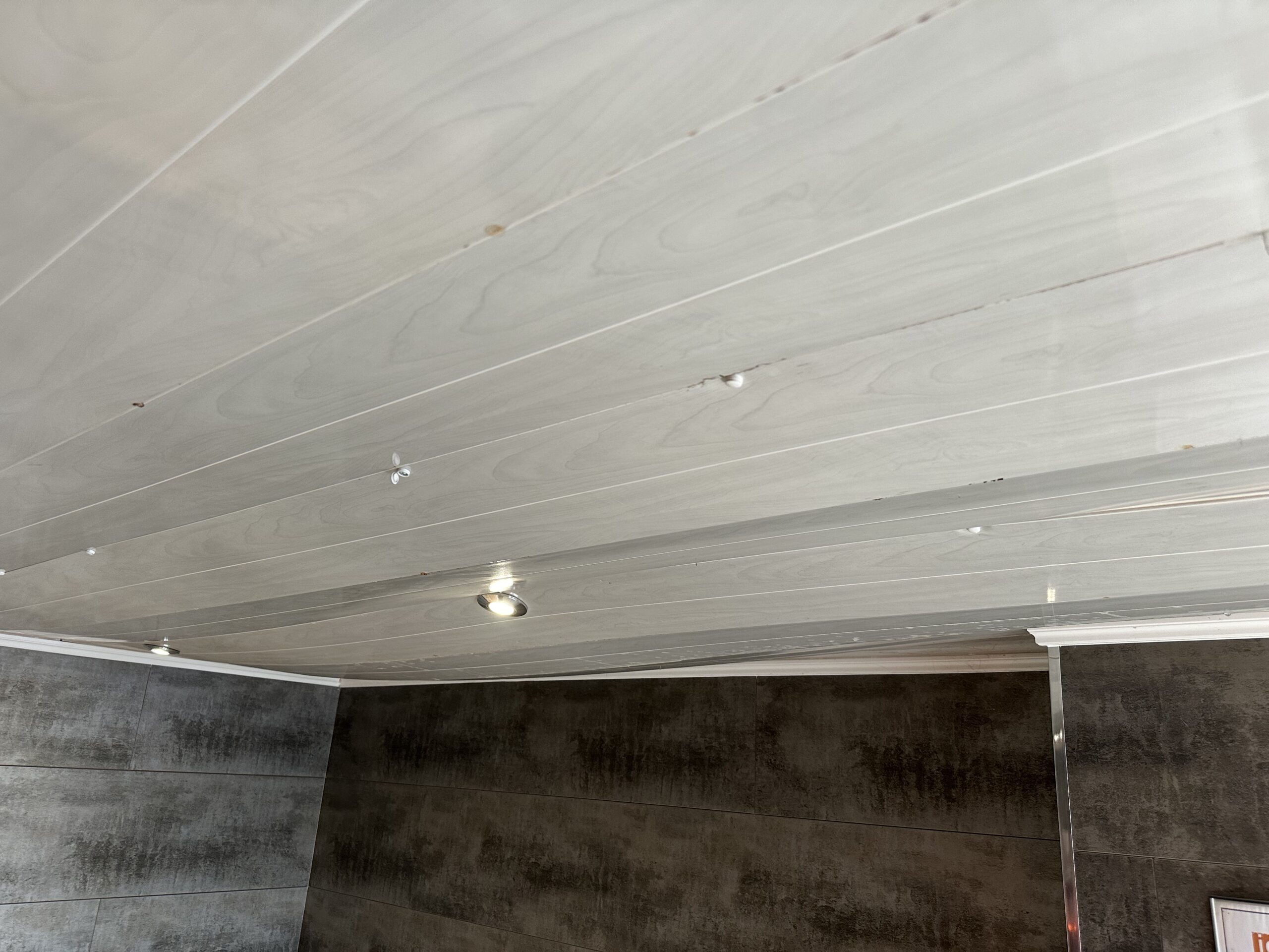
360° Virtual Tour
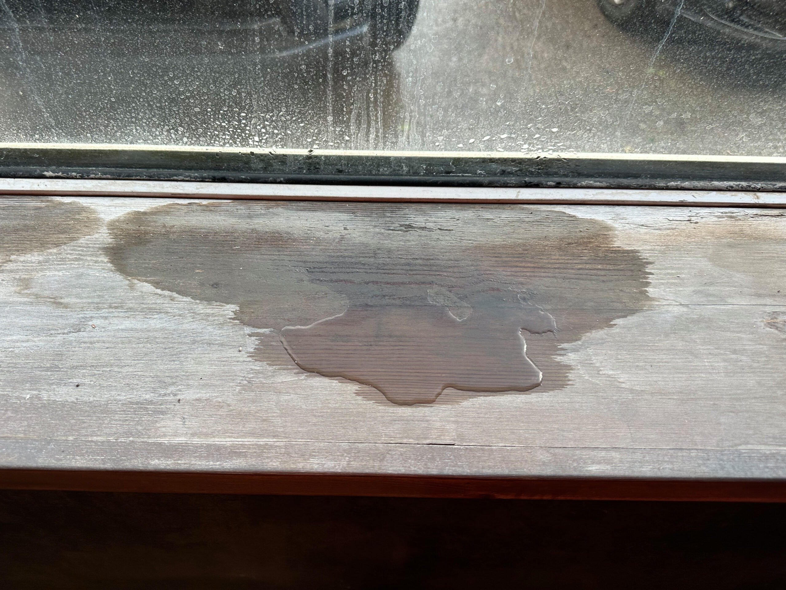
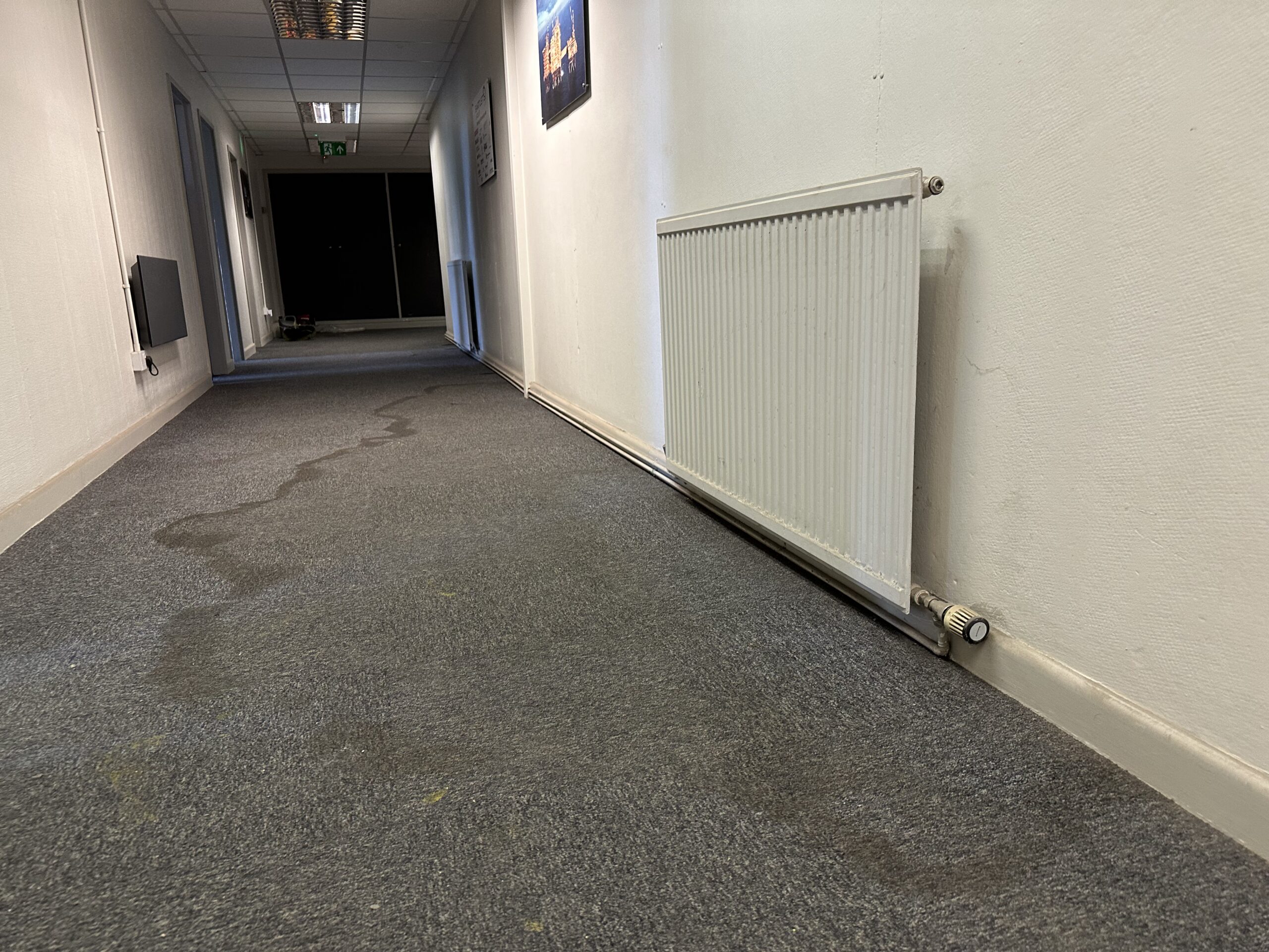
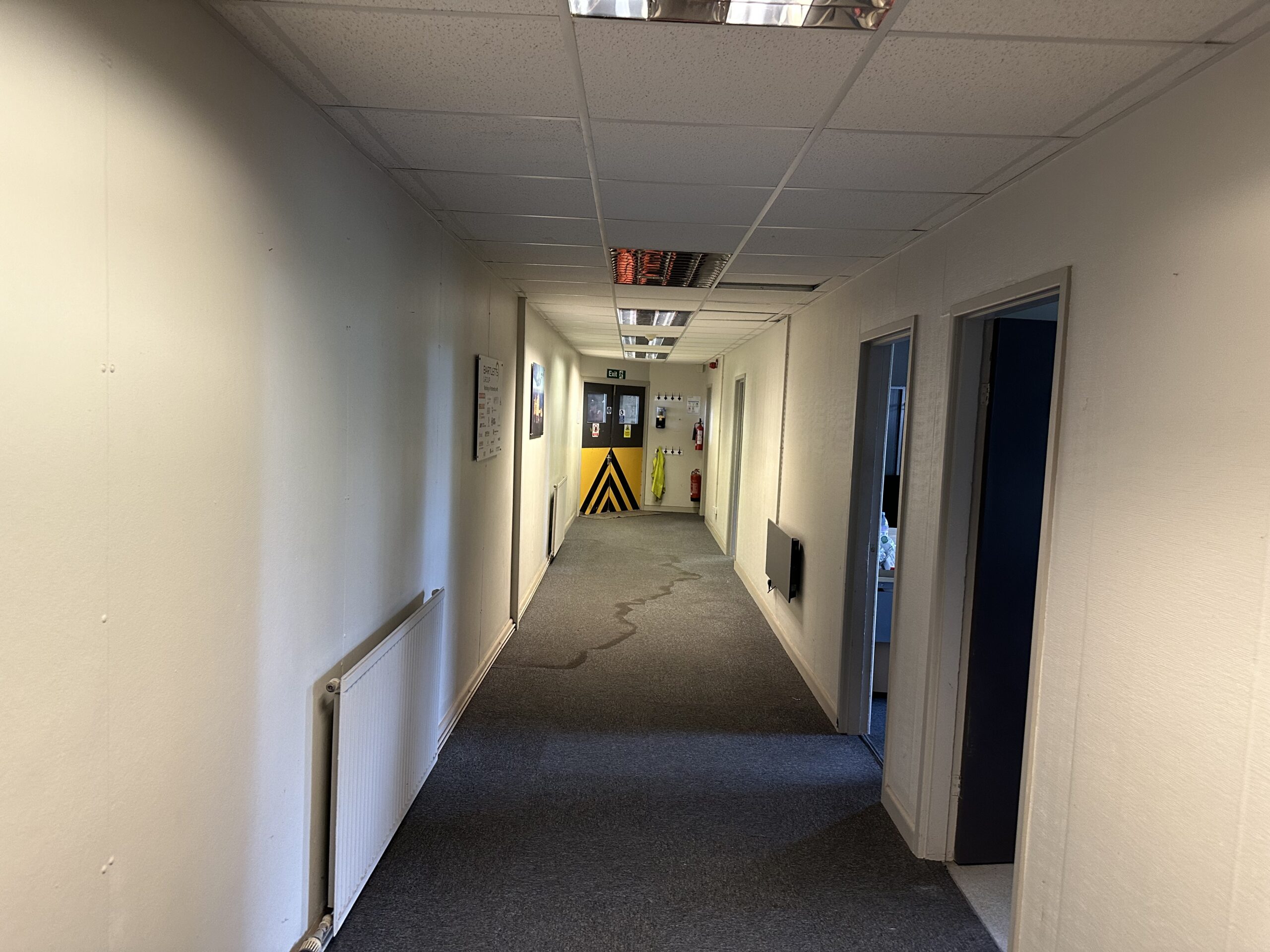
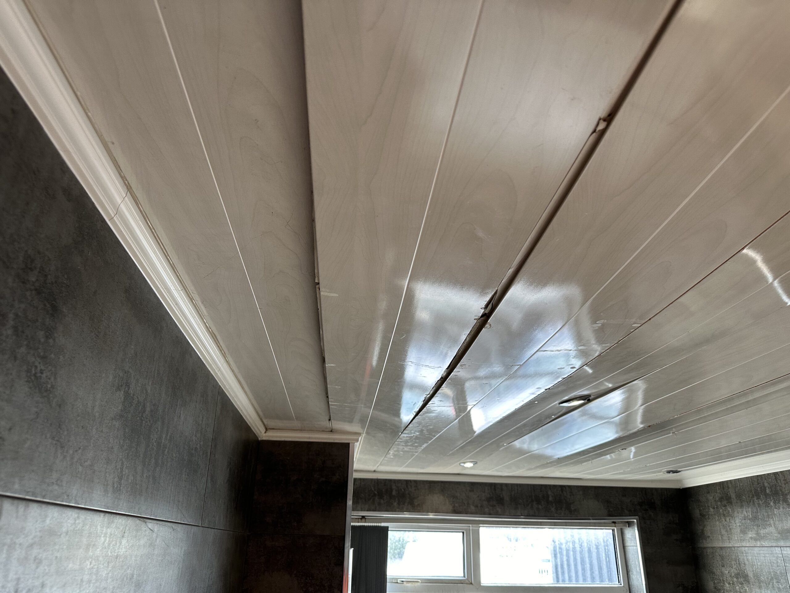
Using remote-controlled 360° camera systems, we captured a detailed walkthrough of the warehouse interior. This allowed decision-makers to inspect all affected areas virtually—highlighting water-damaged goods, impacted infrastructure, and the full extent of contamination—without setting foot inside.
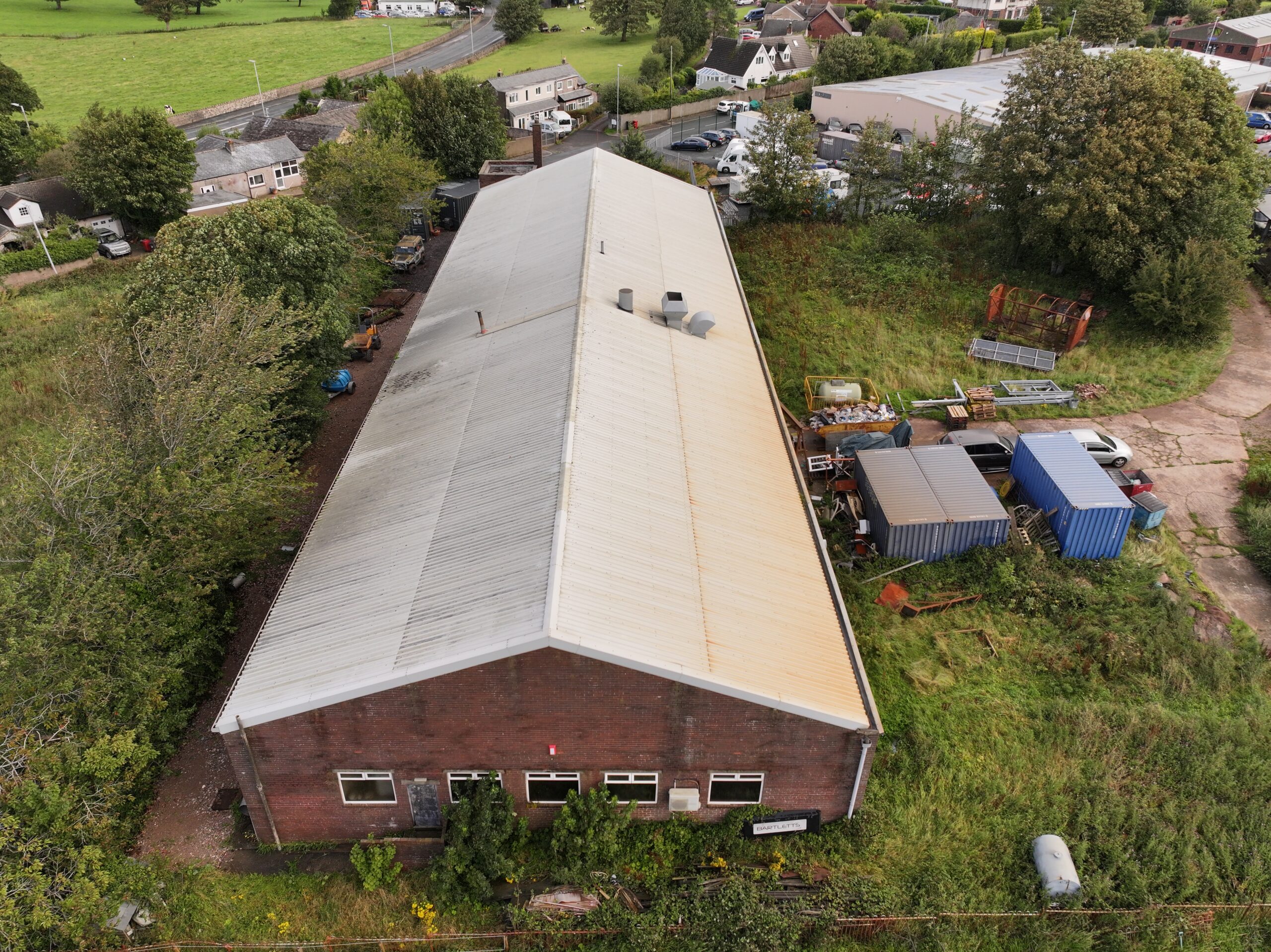
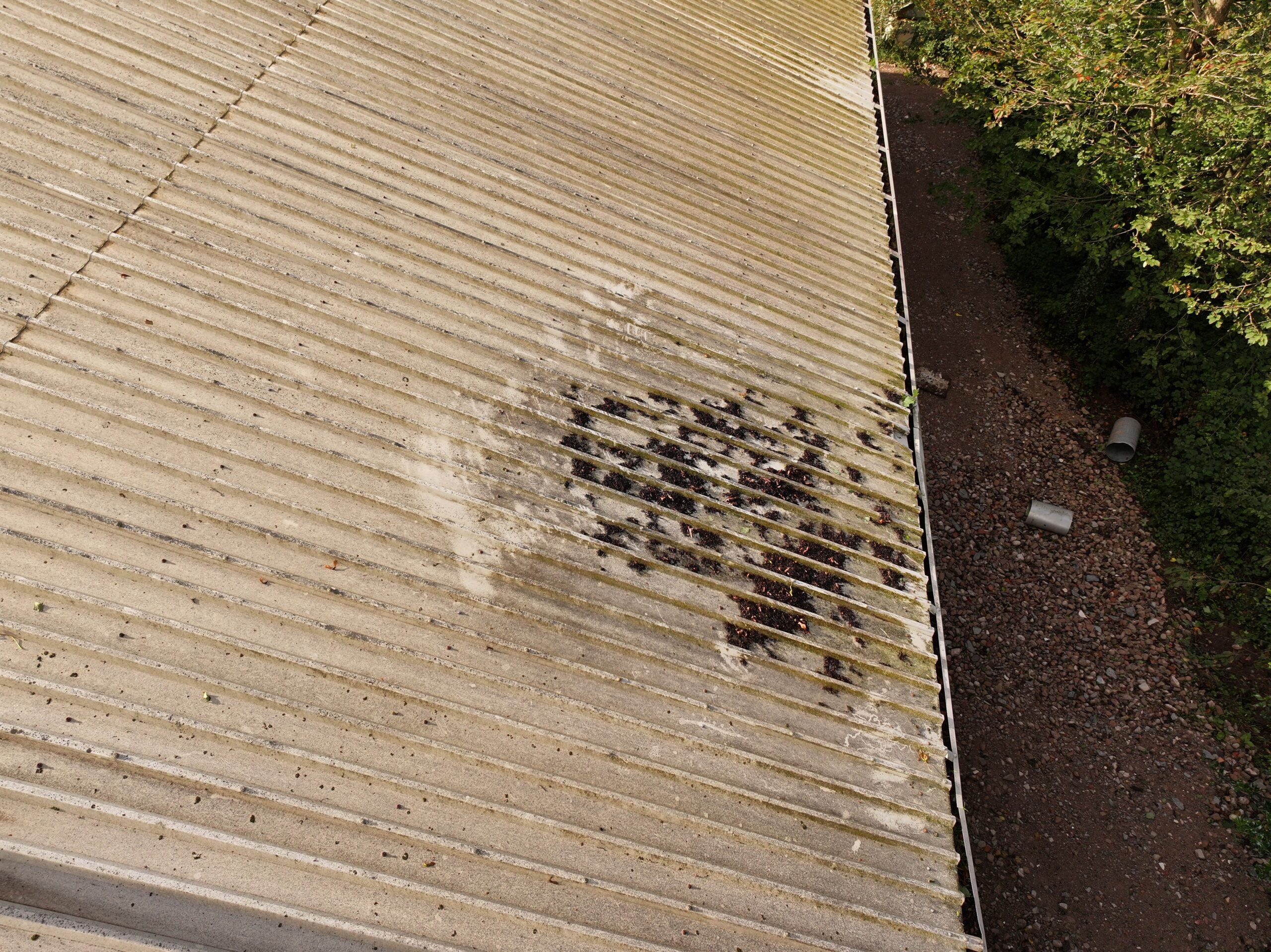
Drone Imagery
Our CAA-approved drone team captured high-resolution aerial stills and video of the building’s roof, external walls, drainage, and surrounding flood zones. These visuals provided vital context for understanding flood pathways and potential structural weakening.
Floorplans and CAD Output
We also delivered accurate floorplans and point cloud data to support reconfiguration and repair planning. This information proved essential for contractors tasked with restoring the property to operational use.


