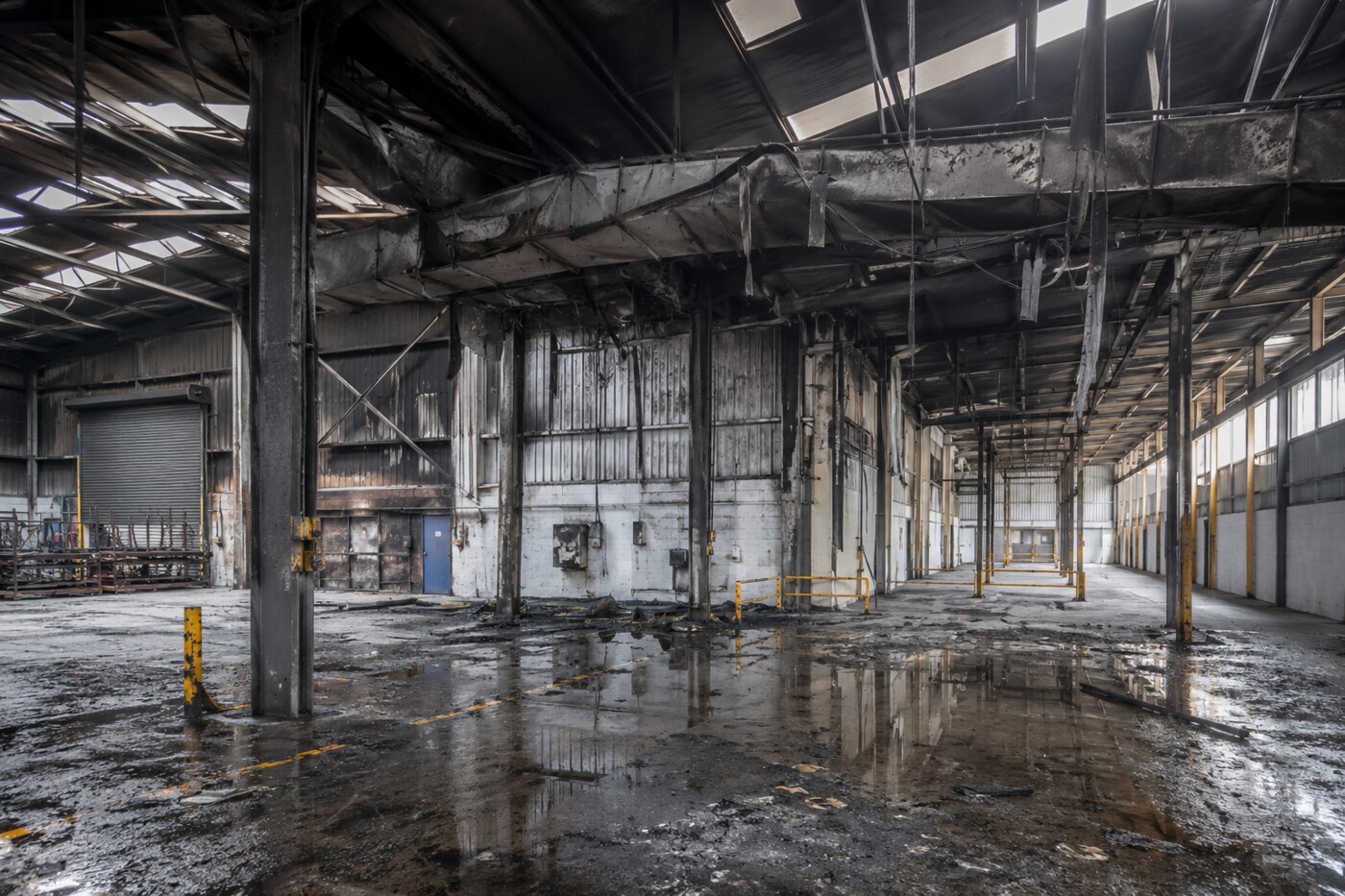
After a fire, the first survey record often shapes every decision that follows. Insurers, loss adjusters, building consultants, contractors and property owners need to understand what was visible, where damage was located and what can be accessed safely—often before the property is ready for repeat visits.
Rotorgraph creates digital twin documentation, 360° virtual tours, high-resolution photography, drone imagery and measured point-cloud data for fire-damaged buildings. The result is a time-stamped, navigable record for claims, scoping, reinstatement and recovery.
What is a fire damage digital twin?
A digital twin is a navigable digital representation of accessible areas at a particular time. It can combine immersive 360° imagery with spatial context and, where required, registered point-cloud data. It is not a structural report, cause-and-origin investigation or substitute for the site safety plan; it is the shared visual and spatial evidence layer that helps appointed specialists work from the same record.
Why early fire-damage documentation matters
Emergency works, debris removal, drying, temporary protection and reinstatement can obscure conditions visible immediately after the incident. Safe early capture preserves a record of accessible areas before the next phase begins.
- Claims evidence: a record of visible fire, smoke, water and suppression damage.
- Remote review: insurers, loss adjusters and consultants can review the same site context without avoidable travel.
- Scope development: recovery teams can understand rooms, routes, elevations and affected zones before planning work.
- Measurement and coordination: point clouds can support agreed measured review, CAD modelling and coordination.
- Audit trail: a retained, date-specific record establishes what was visible before clearance or reinstatement.
A practical record for insurers and loss adjusters
The aim is not simply attractive imagery. It is to make complex sites easier to understand and communicate. A properly planned capture can support the early claim file, desk-based review, scope meetings, contractor mobilisation, reinstatement planning and stakeholder updates.
Digital documentation supports—but does not replace—building safety controls, structural engineering, fire investigation, asbestos and contamination management, or building-survey advice.
Typical deliverables
- Secure hosted 360° digital twin with controlled sharing.
- High-resolution, time-stamped internal and external photography.
- Drone photography and video where permissions, weather and site safety allow.
- Registered point cloud and measured outputs specified to suit the intended use.
- Annotated key views and downloadable evidence imagery.
Frequently asked questions
What is a digital twin for fire damage?
It is a navigable visual record of accessible parts of the building, captured at a specific time. It can combine 360° imagery, photographs and measured point-cloud data for remote review and later reference.
How can a digital twin help a loss adjuster?
It gives the loss adjuster a shared view of the affected property for desk-based review, early claim communication, scope discussions and coordination with insurers, consultants and contractors.
Can you survey a building after a fire?
Yes, where the responsible site team confirms access is safe and the scope is agreed. Capture is limited to accessible areas and does not replace specialist structural, forensic or hazardous-material assessment.
Can a digital twin be measured?
Where accurate measurements or models are needed, we can specify registered point-cloud or photogrammetry outputs suited to the agreed purpose and tolerance.
Who can access the fire damage record?
Access can be securely shared with the authorised insurer, loss adjuster, building consultant, contractor, project manager and property owner.
Does digital documentation replace a fire investigation or structural survey?
No. It supports those professionals with a clear evidence record; safety decisions and specialist assessments remain with the appropriately appointed teams.
Arrange emergency fire-damage documentation
Rotorgraph supports insurers, loss adjusters, consultants, contractors and property owners with fire-damage surveys, 360° digital twins, drone capture and point-cloud surveys nationally across the UK. Based in Yorkshire, we mobilise for complex fire losses wherever the project requires. Talk to us about a safe, practical capture plan.
Related case study: Kings Hall Church Fire Survey, Southall: Digital Twin & Point Cloud.