Roof reports, drone surveys, photogrammetry and point cloud data – the accurate information insurers, surveyors, architects and facilities managers need to make informed decisions about their buildings.

6
+
Years experience
100
+
Corporate clients
500
+
Properties surveyed
Brands we’ve worked with


Key services
Four ways we capture building intelligence
Whether it’s a single roof or a portfolio of properties, we combine Chartered Surveyor reporting with drone capture, photogrammetry and laser-accurate point cloud data.
01 / Survey

Roof Reports
Chartered Surveyor roof condition reports and defect assessments. Clear, professional documentation for insurance, maintenance planning and Schedule of Condition.
02 / Capture

Drone Surveys
CAA-licensed drone inspections that reach every elevation without scaffolding, cherry pickers or access disruption. Safer, faster and fully documented domestic and commercial drone surveys.
03 / Model

Photogrammetry
Accurate, measurable 3D models built from overlapping aerial imagery. Ideal for planning, refurbishment and project coordination. Measure, plan, and quote without returning to site.
04 / Scan

Point Cloud Surveys
Laser-scanned digital twins that produce measurable, navigable building records for surveyors, architects and insurers. Accurate building intelligence for better decision making.
From one site visit, you can receive
A single capture day produces far more than most clients expect.

Roof Condition Report

Orthomosaic Map

Photogrammetry Model

Point Cloud File

360° Virtual Tour

Measured Floor Plan
Recent work
Real projects, real outcomes
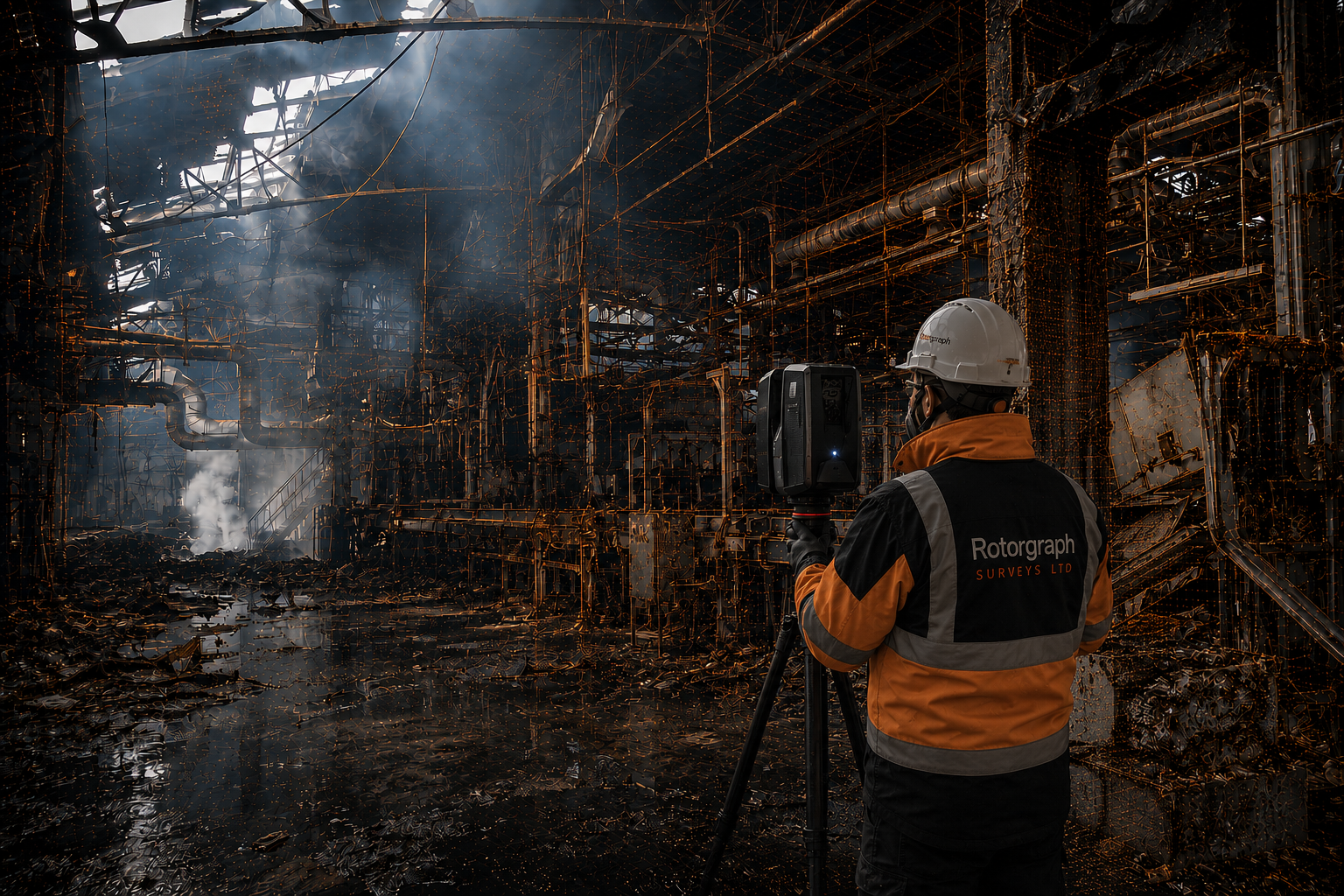
Industrial property
Major Industrial Fire - Digital Twin & Point Cloud
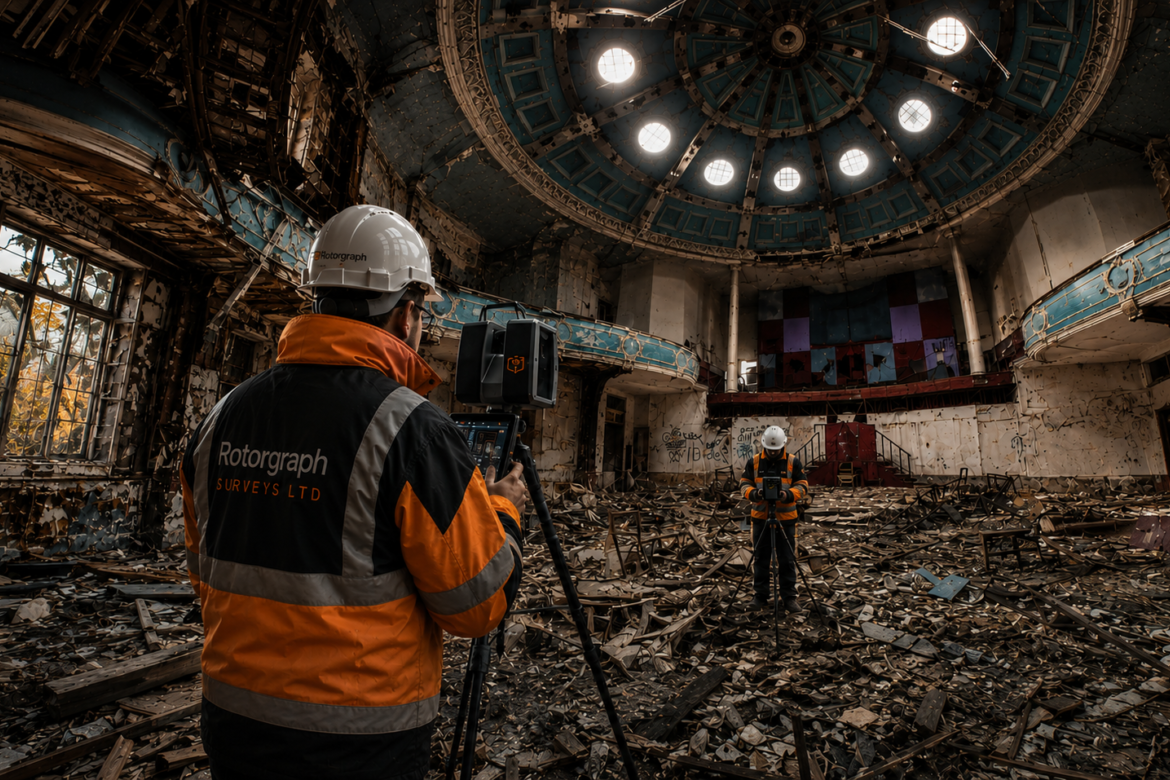
Kings Hall Church, Southall
Fire Survey - Digital Twin & Point Cloud
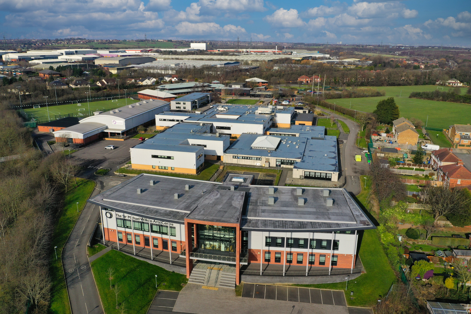
Wakefield Academy School
Annual Roof Inspection Programme
How it works
From enquiry to delivered data
1. Tell us about the site
Property type, size and what you need to know. No obligation – just clarity on scope.
2. Fixed, fast quote
A tailored quote based on access, site conditions and the deliverables you need.
3. Site visit
Our CAA-licensed pilots and surveyors capture the site – no scaffolding required.
4. Process & model
Imagery and scan data are processed into reports, models or point cloud datasets.
5. Deliver & support
You receive clear, actionable documentation – with support interpreting the findings.
What clients say
Trusted by people
who need the data right
Ready to survey your property?
Tell us about the site and we’ll come back with a tailored approach and a fast, transparent quote.
Common Questions
What you need to know
What's the difference between a drone survey and a roof report?
A drone survey is the capture method – high-resolution imagery taken from the air. A roof report is the output: a Chartered Surveyor’s written assessment of condition, defects and recommendations, informed by that imagery. We typically provide both together.
Do you still need scaffolding or access equipment?
In most cases, no. Our drone surveys reach roof slopes, gutters and elevations that would otherwise need scaffolding or a cherry picker – reducing cost, disruption and risk. Some interior or confined-space scans still require access on foot.
What is photogrammetry used for?
Photogrammetry stitches overlapping photos into a measurable 3D model. It’s commonly used for planning applications, refurbishment design, volumetric measurement and coordinating work between architects and contractors.
How is a point cloud different from a 3D model?
A point cloud is a dense dataset of millions of precisely measured points captured by laser scanning – it’s the raw survey-grade record. It can be used directly for measurement or converted into a 3D model, floor plan or digital twin.
Are you insured to work on our site?
Yes. We hold £1m Public and Employee Liability insurance and are Safe Contractor Approved. We can provide documentation, risk assessments and method statements to venues and clients ahead of any site visit.
Can you support insurance and loss adjusting claims?
Yes – this is a significant part of our work. We capture fire, flood and escape-of-water damage through digital twins and point cloud surveys, giving insurers and loss adjusters accurate, measurable documentation to support claims.
How quickly can you turn around a survey?
Turnaround depends on the size of the site and the deliverable – a straightforward roof report is typically faster than a full digital twin. We’ll confirm a realistic timeline as part of your quote.
Do you work outside West Yorkshire?
Yes. While we’re based in Bradford, we work with insurers, surveyors and property owners on commercial and residential properties across the UK.
Get in Touch
Get a fast free quote
Fill in the form below and one of our surveyors will be in touch, usually within a few hours. No obligation.